Hydrous
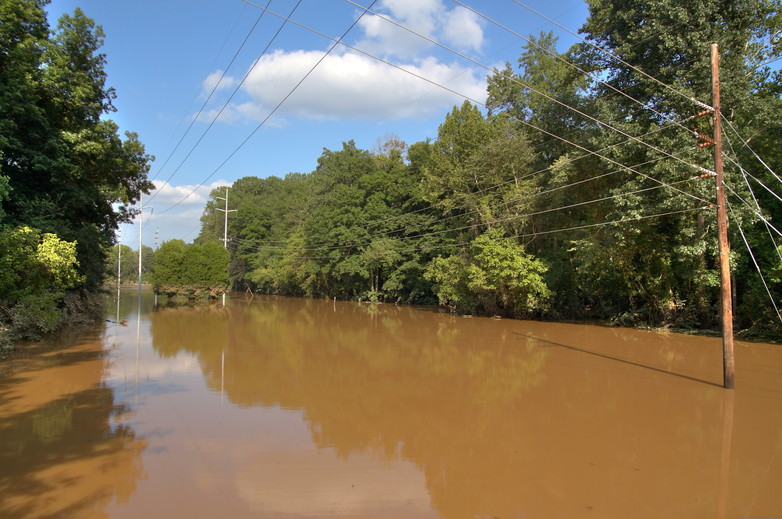
The Chattahoochee Exceeds its Banks
- September 23, 2009
- Tags: Chattahoochee River, flood, HDR
Comments
- Ariel
- September 23, 2009
- 11:59 am
Cool, thank you. I was wondering how this part of the Chat was doing. :)
- Jennifer
- September 23, 2009
- 1:48 pm
oh wow, that dirt line is really visible on those three little trees out there in the middle. after seeing all these photos on the news websites, it's sort of weird to see ones from my friends!
Keyboard Shortcuts: Left arrow = previous photo, right arrow = next photo, R = random photo
Copyright © 2026 Ethan Trewhitt. Content licensed under a Creative Commons BY-NC-ND 3.0 license unless stated otherwise. DB queries: 11
Please wait ...
There was an error fetching the requested dialog.